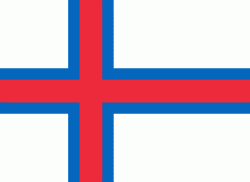
Eystur Municipality (Eystur)
Eystur Municipality (Eysturkommuna) is a municipality (kommuna) in the Faroe Islands.
In Faroese, eystur means east and so the municipality is East Municipality. It covers an eastern part of the island of Eysturoy. It was created on 1 January 2009 from the merger of Leirvík and Gøta municipalities. It includes the villages of Norðragøta (the administrative centre), Leirvík, Gøtueiði, Gøtugjógv and Syðrugøta, as well as other small settlements.
* Eysturkommuna.fo - The website of Eystur Municipality
Map - Eystur Municipality (Eystur)
Map
Country - Faroe_Island
 |
 |
They are located 200 mi north-northwest of the United Kingdom, and about halfway between Norway (360 mi away) and Iceland (270 mi away). The islands form part of the Kingdom of Denmark, along with mainland Denmark and Greenland. The islands have a total area of about 540 sqmi with a population of 54,000 as of June 2022.
Currency / Language
| ISO | Currency | Symbol | Significant figures |
|---|---|---|---|
| DKK | Danish krone | kr | 2 |
| ISO | Language |
|---|---|
| DA | Danish language |
| FO | Faroese language |


